Point Data
Advertisement
CVLView v.1.0.1
CVLView is a viewer for PFS files. CVLView is a viewer for arbitrary floating point data that is stored in pfs files.All of the data processing that is necessary for visualization is done on the graphics processing unit (GPU) for optimal performance.
Advertisement
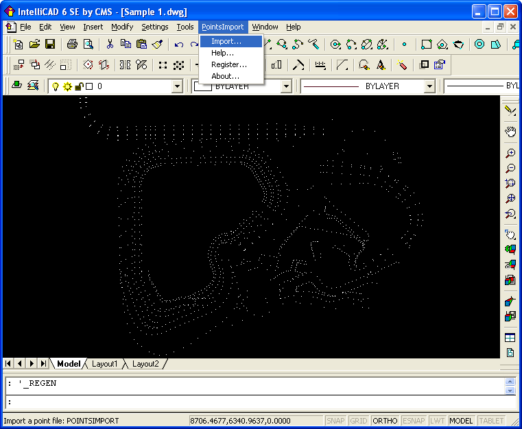
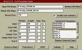
Points Import for IntelliCAD v.1.0
Points Import for IntelliCAD is a Point Text file import plug-in for IntelliCAD powered applications.
Qsortw File Sort Utility
Stand-Alone File Sort Utility for Windows95/98/ME/2000/XP. Sorts combinations of character, integer & floating point data types. Saves & manages sort parameters for multiple files. This program is NOT for the novice. Perhaps, a fun toy for computer
UHook Personal v.2.0
About uHook Personal 2.0 uHook Personal is an end point data leak prevention solution to protect your files from getting stolen or accidently leaked out of your PC through unauthorized USB storage devices like Flash Drives, External USB Hard Drives,
Water Point Mapper v.1.0
Water Point Mapping is a process for monitoring the distribution and status of water points in rural and urban areas. It supports local level planning and can improve accountability for water sector performance at local and national levels.
XLink EzRollBack Free Edition v.3 1
Generate Restore Point for Your Data In Real-Time. Ezrollback understands the drive property of each sync destination in order to get the best performance out of it.
Geoida v.1.0
Geoida is a software product that will benefit members of the surveying and related professions for the day-to-day routine processing, coordination and adjustment of spatial survey data, from routine pick-up surveys to complex networks of geodetic sc
Cvtool v.1.0
Cvtool is a command line tool for processing images and data. It works as a filter and supports both netpbm images and pfs images and data. ool integrates all its functionality into a single binary, and makes it available through commands.
Global Mapper v.12.00
Create Better Maps with Global Mapper. Think of it as a word processor for geographic data. With a digital representation of your data, you can create printed maps or digital map files that can be downloaded into Garmin GPSr's.
PulseView v.1.2
Quarktet proudly announces the release of the PulseView program, enabling quick viewing of text-based data files. PulseView allows users to quickly open and view data files and perform quick analysis...much quicker than spreadsheets.
Any Image v.5.1
Any Image is a tool for converting between different image file formats. It's just as easy to convert a thousand files as a single file. Many file formats are supported. High-quality image processing options. Unique "Compress jpeg to size" feature.